Update
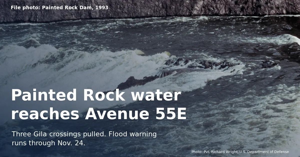
Painted Rock water has reached Avenue 55E. Three other Gila crossings are already pulled.
If you cross the Gila in East County, here's the list as of Thursday. Three crossings are removed and secured. The county reported water had reached a fourth.
Founder & Publisher
- Published
Full article
The water let out of Painted Rock Dam is in Yuma County now.
On Thursday, Nov. 19, Yuma County's Office of Emergency Management said the released water had reached the Avenue 55E crossing, according to the Yuma Sun.
Three crossings are already out. The Wellton-Mohawk Irrigation and Drainage District, working with Yuma County Public Works, has removed and secured:
- Avenue 52E
- Avenue 50E
- Avenue 49E, at the Norton Siphon
That's as of Thursday, per the district through the Sun. The district said more crossings may be removed or closed as the flows come down the river.
Notice what's not on that list: Avenue 55E. The county reported water had reached it. We could not verify its closure status. Obey posted closures, and turn around at a flooded crossing.
The warning
The National Weather Service in Phoenix has a flood warning for the Gila River below Painted Rock Dam. It covers parts of Maricopa County and northeastern Yuma County and runs until 11 a.m. Arizona time Tuesday, Nov. 24.
In its Nov. 17 morning update, the warning said releases were expected to peak around 3,000 cubic feet per second, and the gauge just below the dam read near 10 feet. Those are numbers at the dam. They aren't what's arriving at any crossing in Yuma County.
The warning also says low-water crossings are likely to flood and "may not be passable," and that farmland along the river is expected to flood.
What we said before, and what's new
Our Nov. 18 story cited reports that about 13 crossings were slated to close or be removed as releases increased. We couldn't find a list then. We still can't find a full one.
Three are now named as removed. The county reported water had reached a fourth. That's the update.
The district's message to drivers, via the Sun, was short: "These crossings have been closed for a reason."
If you see a barricade, it's there for you. Turn around.
What we don't know
- The full list of crossings being pulled. We checked the county's news pages and the district's site. The district's crossing pages wouldn't load.
- Whether Avenue 55E is passable.
- How much water is at the Dateland and Dome gauges today.
- Whether any fields have flooded.
- Whether the warning will be extended past Nov. 24.
Where this comes from
- National Weather Service Phoenix flood warning, Nov. 17 morning update. Official record. Link
- Yuma Sun, "Road crossings blocked as floodwaters reach Yuma County," Nov. 19. Reporting that carries the county OEM and district statements. Link
- KYMA, Nov. 11. Reporting on the planned closures. Link
- Wellton-Mohawk Irrigation and Drainage District, (928) 785-3351. Link
Earlier coverage:
- The water from Painted Rock is headed for East County. The flood warning now runs through Nov. 24. (Nov. 18)
- Painted Rock Reservoir went from bone dry to about 23 billion gallons in less than a week. Now it's letting it go. (Nov. 10)
- Water on the road in Yuma: what a few inches can do, what the law says, and who to call
Sources 4
- Secondary source / research lead · News reportKYMA, Nov. 11, 2026
Reporting on the 13 crossings. [KYMA](https://kyma.com/news/arizona-news/2026/11/11/u-s-army-corps-of-engineers-release-water-from-painted-rock-dam/)
- Primary source · Government recordNational Weather Service Phoenix flood warning
Source cited in the November 20, 2026 Yuma Informed publication.
- Primary source · Government recordWellton-Mohawk Irrigation and Drainage District
Source cited in the November 20, 2026 Yuma Informed publication.
- Secondary source / research lead · News reportYuma Sun, "Road crossings blocked as floodwaters reach Yuma County,"
Source cited in the November 20, 2026 Yuma Informed publication.