Update
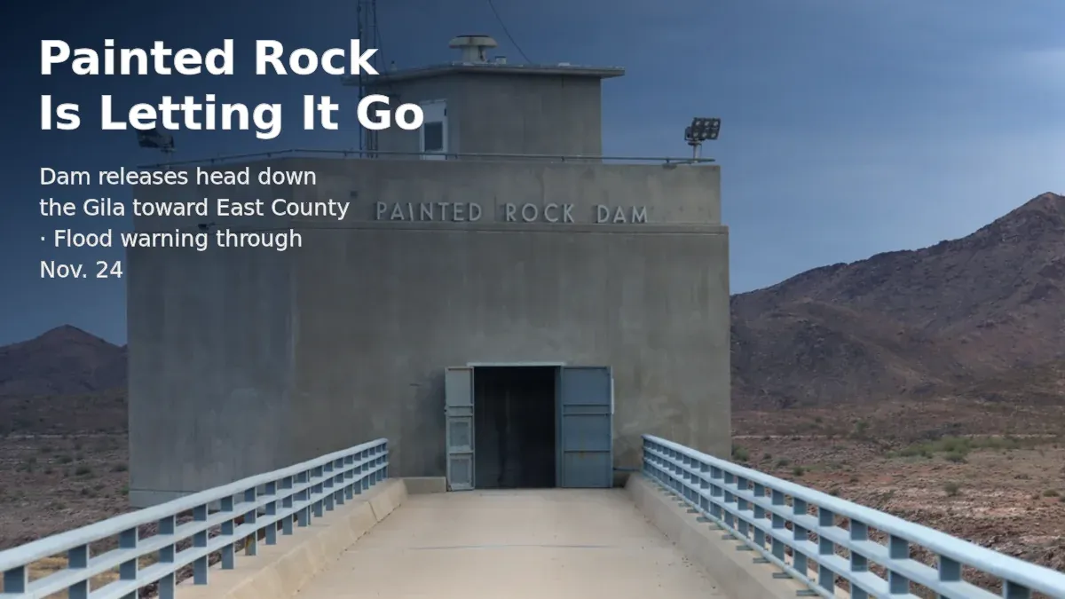
The water from Painted Rock is headed for East County. The flood warning now runs through Nov. 24.
Water let out of Painted Rock Dam is working its way down the Gila toward Yuma. By the irrigation district's estimates, it reaches Dateland around Thanksgiving week and Dome in early December. The dirt crossings are the first thing to worry about.
Founder & Publisher
- Published
Full article
Last week we told you Painted Rock Reservoir went from bone dry to about 23 billion gallons in less than a week, and that the Army Corps of Engineers had started letting it go.
That water is on the move. It's coming our way.
On Tuesday morning, the National Weather Service in Phoenix extended its flood warning for the Gila River until 11 a.m. Tuesday, Nov. 24. The warning names parts of Maricopa County and northeastern Yuma County, but it's about the river, not a countywide flood. The weather service's forecast discussion early Wednesday put the warning area at the stretch from Painted Rock Dam through the Dateland area.
The warning says releases are peaking around 3,000 cubic feet per second, with the gauge just below the dam near 10 feet. Farmland and low-water crossings along the Gila are expected to flood. In the weather service's words, the crossings are "likely to become inundated with water and may not be passable."
Wednesday's discussion said the releases were still around 3,000 cfs and could flood farm fields and low-water crossings downstream. That doesn't mean the water has reached Dateland yet. It means the warning is still on.
If you live out in Dateland, Tacna, Roll, Wellton or the Dome Valley and use the dirt crossings over the river, closures could get in your way.
When it gets here
The Yuma Sun reported estimates from the Wellton-Mohawk Irrigation and Drainage District on how long the water takes to reach points downstream once it starts moving. Releases started Nov. 10. Counting from there:
- Dateland: about Nov. 24-25
- Avenue 57E: about Nov. 28-29
- Dome: about Dec. 1-3
Those dates are my math on the district's numbers. Treat them as estimates.
The Arizona Republic offered a different measure. It reported the water has 128 river miles to cover before it meets the Colorado near Yuma, and that it could take up to three weeks to get halfway. That's distance along the whole river, not arrival at a particular town, so the two estimates aren't measuring the same thing.
One more thing about dates. The flood warning ends Nov. 24. The district's estimate puts the water at Dome around Dec. 1-3. The warning expiring doesn't mean the river is done downstream. They're two different clocks.
The roads
The Republic reported that Yuma County's Office of Emergency Management expects the water to reach the county and plans to remove 13 road crossings. KYMA reported the same number on Nov. 11.
Which 13? I couldn't find a list. I checked the county's news page, its meeting pages and a general web search. Nothing posted. If the county has put one out on social media, I haven't been able to see it.
For what it's worth, KYMA reported in 2023 that county Public Works said it has 14 Gila crossings, and only one of them, Avenue 36E, is paved.
We've been here before. Twice.
- 2010: During a controlled release from Painted Rock, the county closed Avenue 50E, Avenue 47E, 4th Street and 5th Street at the Gila. When Avenue 22E closed too, the only way into the Dome Valley from Wellton was I-8. Nine bridges stayed open.
- 2023: The county's August newsletter said all low-flow river crossings in East County were closed. KYMA reported repairs in the Mohawk Valley took two to three months.
That 2010 list is history. It doesn't tell you which roads are closed this year.
The lettuce, and the salt
Jon Sweeten, an engineer with the Corps, told the Republic the releases are being kept low partly to protect growers downstream, including winter lettuce. He said higher flows could raise salinity in the groundwater, and he called this a one-time event.
Jake Richardson, a hydrologist with Salt River Project, told the Republic the effects on groundwater from all this water soaking in may take a year or more to show up.
What we don't know yet
- Which 13 crossings the county is pulling, and which ones are closed today.
- How much water is moving at Dateland or Dome right now. I couldn't get current readings. When I checked Wednesday, the USGS page for the gauge near Dome listed continuous data only through Aug. 3, and I couldn't get current numbers for the gauge below the dam either.
- The Corps' own release schedule. I couldn't find a notice from the Los Angeles District for this release.
- Whether any fields have flooded yet.
When the county posts its crossing list, we'll put it up as a new story and link it here.
Until then, the advice is the same one the weather service gives every time: if there's water over the road, don't drive into it.
Where this comes from
- National Weather Service Phoenix, Area Forecast Discussion, early Nov. 18, 2026. Official. Warning area from Painted Rock Dam through Dateland; releases around 3,000 cfs. NWS
- National Weather Service Phoenix, Flood Warning, issued Nov. 17, 2026, 8:21 a.m. Official warning text. NWS
- USGS, Gila River gauge near Dome (09520500). Official. Checked Nov. 18. USGS
- Arizona Republic, "Storm runoff could connect the Gila River to the Colorado near Yuma," Christopher Lomahquahu, Nov. 14, 2026. Reporting. Source for 128 miles, the halfway estimate, the 13 crossings, and the Sweeten and Richardson comments. Yahoo
- KYMA, Nov. 11, 2026. Reporting on the 13 crossings. KYMA
- Yuma Sun, WMIDD arrival estimates. Reporting, as summarized in our Nov. 10 article. Arrival dates are our arithmetic. Yuma Informed, Nov. 10
- Yuma County, "Controlled water release to temporarily close some East County roads," updated March 16, 2010. Official record. Yuma County
- Yuma County, YuCount newsletter, August 2023. Official record. Yuma County
- KYMA, "Road repairs underway after Gila River damage," July 5, 2023. Reporting. KYMA
Sources 9
- Secondary source / research lead · News reportArizona Republic, "Storm runoff could connect the Gila River to the Colorado near Yuma," Christopher Lomahquahu, Nov. 14, 2026
Reporting. Source for 128 miles, the halfway estimate, the 13 crossings, and the Sweeten and Richardson comments. [Yahoo](https://www.yahoo.com/news/weather-news/articles/storm-runoff-could-connect-gila-120331401.html)
- Secondary source / research lead · News reportKYMA, "Road repairs underway after Gila River damage," July 5, 2023
Reporting. [KYMA](https://kyma.com/news/kyma-com-category-news-yuma-county/2023/07/05/road-repairs-underway-after-gila-river-damage/)
- Secondary source / research lead · News reportKYMA, Nov. 11, 2026
Reporting on the 13 crossings. [KYMA](https://kyma.com/news/arizona-news/2026/11/11/u-s-army-corps-of-engineers-release-water-from-painted-rock-dam/)
- Primary source · Government recordNational Weather Service Phoenix, Area Forecast Discussion, early Nov. 18, 2026
Official. Warning area from Painted Rock Dam through Dateland; releases around 3,000 cfs. [NWS](https://forecast.weather.gov/product.php?site=PSR&issuedby=PSR&product=AFD)
- Primary source · Government recordNational Weather Service Phoenix, Flood Warning, issued Nov. 17, 2026, 8:21 a.m
Official warning text. [NWS](https://forecast.weather.gov/product.php?format=txt&glossary=0&issuedby=PSR&product=FLW&site=NWS&version=45)
- Primary source · Government recordUSGS, Gila River gauge near Dome (09520500)
Official. Checked Nov. 18. [USGS](https://waterdata.usgs.gov/monitoring-location/09520500/)
View 3 more sources
- Primary source · Government recordYuma County, "Controlled water release to temporarily close some East County roads," updated March 16, 2010
Official record. [Yuma County](https://www.yumacountyaz.gov/Home/Components/News/News/206)
- Primary source · Government recordYuma County, YuCount newsletter, August 2023
Official record. [Yuma County](https://www.yumacountyaz.gov/Home/Components/News/News/5960)
- Secondary source / research lead · News reportYuma Sun, WMIDD arrival estimates
Reporting, as summarized in our Nov. 10 article. Arrival dates are our arithmetic. [Yuma Informed, Nov. 10](https://yumainformed.com/articles/painted-rock-reservoir-went-from-bone-dry-to-about-23-billion-gallons-in-less-than-a-week-now-it-s-letting-it-go)
Related topics 1
- Yuma County Weather and Storm Impacts
Weather observations, documented storm damage, public-service interruptions and resident resources across Yuma County. Forecasts, measurements and reported impacts are distinguished.