News
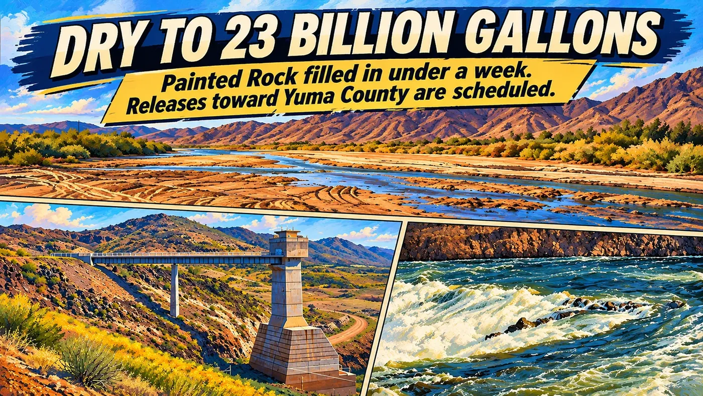
Painted Rock Reservoir went from bone dry to about 23 billion gallons in less than a week. Now it's letting it go.
Upstream flooding filled the normally empty flood-control reservoir near Gila Bend. Releases down the Gila toward Yuma County started Tuesday morning. Here's what's measured, what's planned and what's still a guess.
Founder & Publisher
- Published
Full article
Developing story
Updated 8 a.m. Tuesday, Nov. 10.
Painted Rock Reservoir spends most of its life as a dry spot on the map northwest of Gila Bend. A flood-control lake without the lake.
Not this week.
Through Nov. 4, Army Corps of Engineers data shows the reservoir holding about 7 acre-feet of water. That's next to nothing. Early Nov. 5, water started pouring in. By Monday morning, storage peaked at about 70,600 acre-feet.
At 7 a.m. Tuesday, the Corps' data showed about 70,300 acre-feet, with the pool at about 571.8 feet.
That's roughly 23 billion gallons. Sitting behind an earthen dam in the desert.
The National Weather Service lists 550 feet as the level where flood releases begin through the dam's outlet gates. The pool is about 22 feet above that. That's an operating mark at the dam. It isn't a flood warning for anybody downstream.
Where it came from
Rain. A lot of it.
ABC15 reported Nov. 4 that historic rainfall had Salt River Project reservoirs at risk of overflowing, and that SRP released water from Bartlett Dam on Nov. 2. That water heads down the Salt and the Gila toward Painted Rock.
The National Weather Service in Phoenix said Sunday that elevated flows would continue on the Salt and Gila "through at least the middle of the week," because of upstream dam releases.
This is the job Painted Rock was built for. The Corps finished it in 1959 to catch Gila River floods and let the water out slowly. It isn't meant to keep it. "There won't be long-term storage in Painted Rock Reservoir," SRP's Bo Svoma told ABC15.
How unusual is this? The Bureau of Reclamation's draft 2027 operating plan, released Nov. 5, says no water reached or was released from Painted Rock in the water year that ended Sept. 30.
The plan
The Yuma Sun reported that the Wellton-Mohawk Irrigation and Drainage District announced the releases, and that the Corps will carry them out. According to the Sun:
- Tuesday, Nov. 10, 6 a.m.: releases start at 250 cubic feet per second.
- Tuesday, 6 p.m.: 500 cfs, held until Thursday morning.
- Thursday, Nov. 12: up to 3,000 cfs. At that rate the reservoir should empty in about 12 to 15 days.
I haven't found the district's or the Corps' own notice yet. So the schedule is the Sun's. The first step, though, showed up in the data right on time.
The water's moving
It started Tuesday morning.
At 6 a.m., the Corps' data showed nothing leaving the reservoir. By 7 a.m., the first outlet gate read open, and outflow read about 259 cfs. That lines up with the 250 cfs first step the Sun reported.
The U.S. Geological Survey gauge just below the dam, which read 0.18 cfs earlier in the morning, read 464 cfs at 7:15 a.m. and 466 cfs at 7:30 a.m.
Those two numbers don't match, and I'm not going to pretend I know why. The gauges sit in different places, and both systems post provisional data that can be revised. What they agree on is the part that matters: water is leaving Painted Rock.
When it gets here
Slowly. These are the Sun's estimates, attributed to the district:
- Dateland: about 14 to 15 days out, with flows up to 2,000 cfs.
- Avenue 57E: about 18 to 19 days out.
- Dome: about 21 to 23 days out, with up to 1,000 cfs through Dome Valley.
The Sun said those may change. And they count from when the water actually starts moving, not from the schedule.
For comparison, the Gila near Dome was running at about 6 cfs Tuesday morning, according to the USGS gauge there.
The crossings
The Sun reported that 13 road crossings along the Gila River will be removed, working with Yuma County Public Works, to make room for the higher flows. It also warned that some dirt roads and river crossings may close or become impassable.
I haven't found a list of those 13 crossings. Or a county closure notice. Not yet.
It's happened before. During a controlled Painted Rock release in 2023, the county closed all of the low-flow river crossings in East County, according to the county's own newsletter.
And there's history behind the pace. The Wellton-Mohawk district's history page says the Corps' original rules called for releases of at least 2,500 cfs, to empty the reservoir fast. Most releases have been kept lower than that, the district says, because of potential damage to Wellton-Mohawk and the two districts downstream.
If you live or drive near the river
The advice passed along in the Sun is plain. Use caution near the river. Obey barricades and closure signs. Don't drive or walk into moving water. Plan another route if a crossing is closed.
You can watch the water yourself. The gauges are public:
- Gila River below Painted Rock Dam (USGS 09519800)
- Gila River near Dome (USGS 09520500)
- Painted Rock reservoir data (Army Corps)
I'll update this story as the flows step up, and when the county posts closures.
Where this comes from
- Army Corps of Engineers reservoir data, Painted Rock. Official data, provisional. Storage, pool elevation, outflow and gate readings, pulled from the Corps' public data service Nov. 10 (6 and 7 a.m. MST readings).
- USGS 09519800, Gila River below Painted Rock Dam and USGS 09520500, Gila River near Dome. Official data, provisional. Observed flows, including 464 and 466 cfs below the dam at 7:15 and 7:30 a.m. Nov. 10.
- National Weather Service, Painted Rock Lake (PRKA3). Official. The 550-foot release level.
- NWS Phoenix Area Forecast Discussion, Nov. 8, 2026. Official. Elevated Salt and Gila flows.
- Yuma Sun, "Reservoir releases begin Nov. 10, to increase downstream water flows". Reporting, attributed to WMIDD. The schedule, travel estimates, crossings and safety advice. Not yet confirmed by the district or the Corps.
- ABC15, "Where does all of Arizona's flood water go?", Nov. 4, 2026. Reporting. Upstream rain, the Bartlett Dam release, the Svoma quote.
- Bureau of Reclamation, Draft 2027 Annual Operating Plan, Nov. 5, 2026. Official. No Painted Rock water in water year 2026.
- WMIDD history page. The district's own account. Release history and the 2,500 cfs rule.
- Yuma County YuCount newsletter, Aug. 2023. Official. The 2023 crossing closures.
Related topics 1
- Colorado River Water & Yuma
What federal Colorado River reductions mean for Yuma-area water holders, with evidence on priorities, planning, conservation and unresolved delivery decisions.