News
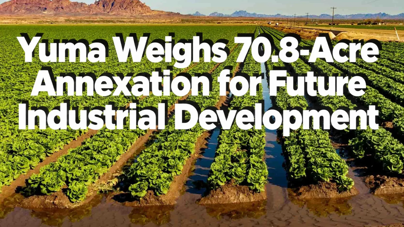
Yuma Council Weighs Annexing 70.8 Acres for Future Industrial Development
Yuma plans an October 21 annexation vote on 70.8 acres. Industrial rezoning would come later, with developers paying utility extensions.
Founder & Publisher
- Published
Full article
Yuma Moves Toward Annexing 70.8 Acres for Future Industrial Development
Yuma City Council is considering bringing approximately 70.8 acres southeast of 43rd Street and Avenue 4E into the city limits at the property owners' request, an early step toward future industrial development.
Council members introduced the annexation ordinance on October 7, and its legislative record currently lists October 21 for adoption. Approval would extend city jurisdiction over three parcels and the adjacent Avenue 4E right-of-way. It would not approve an industrial project.
The owners intend to seek industrial rezoning later. The ordinance would initially place the land in the city's Agriculture district. The property is currently zoned Rural Area-10 by Yuma County, and state law limits the uses and densities the city can permit when the land is annexed.
Nothing in the annexation materials reviewed through October 12 identifies a specific industrial zoning district, prospective tenant, facility, or construction timetable.
The land and its owners
According to the city's staff report, the request covers three parcels: 724-09-003 at 19.5 acres, 724-10-001 at 39.97 acres, and 724-11-001 at 9.98 acres. Counting both the private land and the adjacent road right-of-way brings the total annexation area to approximately 70.8 acres.
The boundary forms a connected, stepped area east of Avenue 4E, reaching across Avenue 4¼E and beyond Avenue 4½E. The proposed ordinance's legal description covers portions of Sections 18 and 13 in Township 9 South. Its map shows which land would enter the city and assigns the city responsibility for roads within the annexation boundary.
Council reports list the owners as Arachnida Farms LLC, which holds parcel 724-09-003, and Paradise Yuma Grove LLC, which holds the other two. Recorded deeds identify both as Delaware companies under the slightly different names Arachnida Farm, LLC and Paradise Yuma Grove, LLC. The staff report and county assessor append "De" to those names. Dahl Robins and Associates, Inc. is listed as the applicant's agent.
Recorded petitions show that Michael Malano signed on behalf of both owners on September 15, with Arachnida's petition identifying him as its managing director. Both petitions were recorded on September 22.
The public records reviewed do not establish who ultimately owns or controls the two companies.
Deeds recorded on November 3, 2016 show that GS Group Holdings AZ, LLC conveyed the properties to Arachnida and Paradise. Those deeds document the land transfers, not the companies' ultimate ownership. A search of the Arizona Corporation Commission database returned similarly named foreign LLC records with pending statuses and no listed principals or filing documents. Those incomplete records do not resolve who controls the landowning companies.
One parcel number in the city paperwork is wrong.
The infrastructure report lists Arachnida's parcel as 724-02-003. County assessor records identify that number as a separate, 28.45-acre property owned by Cha Cha LLC at 4351 E. 40th Street. The hearing report, staff report, and ordinance materials all use the correct annexation parcel number, 724-09-003.
What would have to happen next
Annexation brings county land inside city boundaries, placing future development under city land-use decisions and service policies. City staff point to access to city resources and services as the reason for the proposal, while the owners' stated objective is future industrial rezoning.
The Agriculture designation preserves the initial land-use limits. Under Arizona's annexation law, incoming city zoning cannot permit greater densities or uses than the county allowed. Any later shift toward industrial use must go through the city's separate rezoning procedures.
The city's General Plan identifies the area as Agriculture-Industrial and Rural Density Residential. That planning designation guides later decisions rather than authorizing a particular business.
An industrial proposal would still need rezoning, review for consistency with the General Plan, and the required development, utility, and building approvals. Whether it would also require a General Plan amendment depends on what gets proposed and where.
Future reviews would also have to account for the surrounding properties. Staff describe the annexation site itself as undeveloped and agricultural, with agriculture and a roofing contractor's office to the north, agriculture and single-family homes to the south, agriculture to the east, and industrial offices and agriculture to the west.
Who pays for infrastructure
The infrastructure and services report approved by the council on October 7 places the property in the Agua Viva water-treatment service area and the Desert Dunes wastewater-treatment service area. But being in those service areas does not mean the property is connected. The site currently has neither city water nor sewer service.
Under city rules, a development seeking service must pay to extend water and sewer mains, pay for new or extended stormwater facilities, and obtain approval for drainage systems. Although the staff report identifies existing pipes nearby, neither document establishes whether those lines have the capacity to serve a specific industrial operation.
Road improvements would also depend on what gets developed. City policy calls for needed right-of-way dedications and appropriate contributions toward improvements as development warrants. Avenue 4E is classified as a collector street, while 40th Street is a minor arterial.
The report also addresses police, fire, and emergency medical coverage through city facility plans, identifying MCAS as the current fire-service area. Its ten-year service-planning requirement is not a ten-year construction promise.
For now, the paperwork lists no immediate fiscal expenditure. It provides no development cost estimate and does not settle every future infrastructure expense.
The next council decision
A legal summary from September 2 records a two-minute public hearing on the annexation but does not summarize any testimony. Detailed minutes or an accessible recording were not available in the reviewed meeting archive, so it would be premature to say residents raised no objections.
October 21 remains the ordinance's listed adoption date, though the final public agenda for that meeting was not yet available on October 12. Residents who want to weigh in should check that agenda once it is posted and follow the City Clerk's speaker-request instructions for commenting on the item.
Even if the annexation is adopted, the owners would still have to return to the city for industrial rezoning. That would bring another land-use review and public-hearing process before any industrial project could move forward.
Sources 1
- Primary source · Meeting recordOctober 7, 2026 Yuma City Council action summary: Candela settlement vote
Official Legal Summary posted with the October 7 council meeting and printed October 8, 2026.